Drivers on Spaklerweg now pass through Amstelvoorde
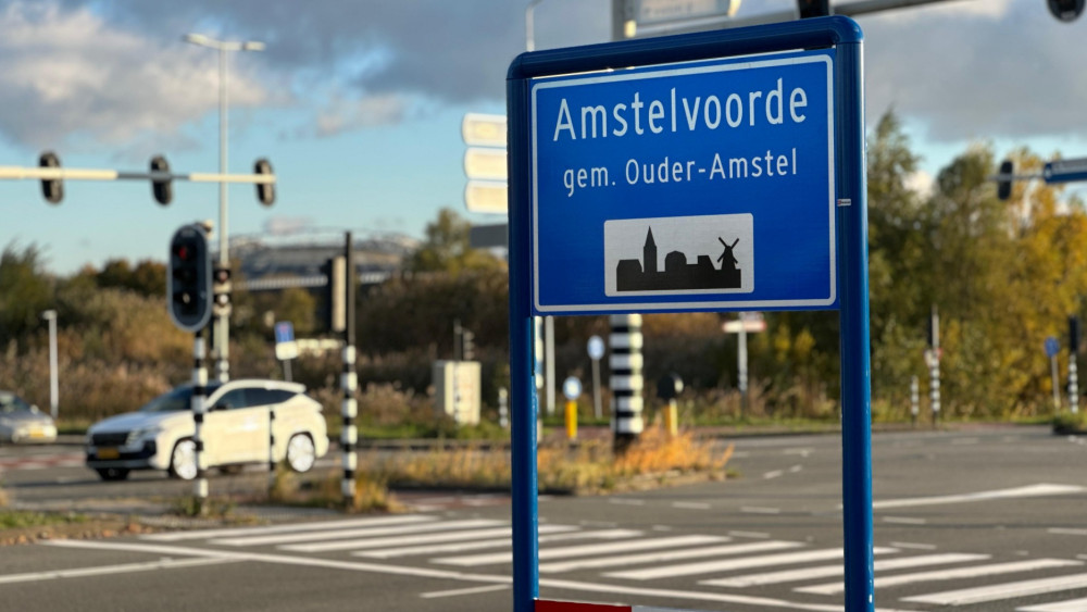
New signs for the neighborhood of Amstelvoorde have been installed near Duivendrecht station following a formal residential area reclassification. The district is planned to include 6,200 new homes, with construction scheduled to begin next year.
A new urban district named Amstelvoorde has officially appeared on road signs near the Spaklerweg and Duivendrecht station. This follows a residential area reclassification in September, which reduced the size of the existing Amsterdam-Duivendrecht neighborhood. The development, situated primarily within the municipality of Ouder-Amstel with some land owned by Amsterdam, is slated for significant expansion. Plans call for the construction of 6,200 new homes, with the first dwellings expected to be completed within four to six years.
The name Amstelvoorde was selected by local residents to represent the new mixed-use urban district. While only a complex of temporary housing currently exists east of the Holterbergweg, development is scheduled to ramp up next year. The project aims to provide highly accessible housing with ample green space, including a large city park. Officials recently corrected the placement of several road signs that were initially installed in the wrong positions, clarifying the new boundaries for travelers heading toward the Johan Cruijff Arena.
Based on reporting by rss. Translated and condensed by LocalHeadlines.